- Posts: 1645
- Thank you received: 163
Structure in Field
- Ossington_2008
- Offline
- Platinum Member
-

Less
More
05 Nov 2015 14:39 #11
by Ossington_2008
Replied by Ossington_2008 on topic Structure in Field
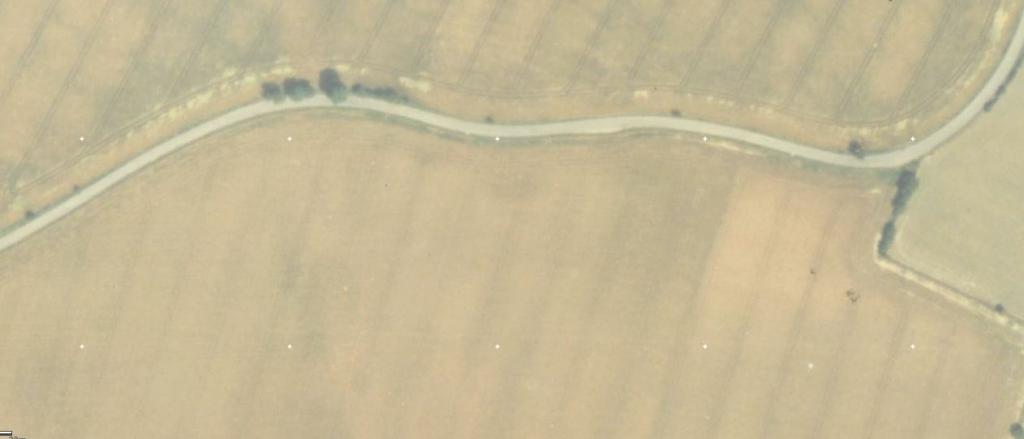
The structures on the last photo could be as innocuous as a hayrick and a pile of gravel or lime. What date was the photo? It could help discount the hay.
Please Log in or Create an account to join the conversation.
- mbriscoe
-

- Offline
- Moderator
-

05 Nov 2015 15:06 #12
by mbriscoe
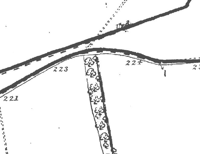
1946 image on HER
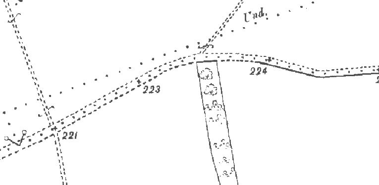
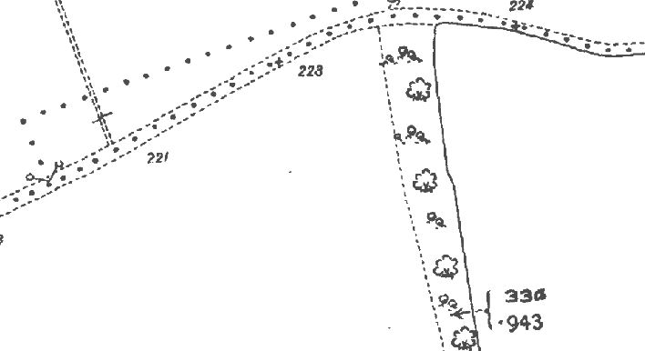
Just going by there being nothing there historically, just the tree line.
1871
This image is hidden for guests.
1897
This image is hidden for guests.
1907
This image is hidden for guests.
1929 - 1952
This image is hidden for guests.
1990
This image is hidden for guests.
2008
This image is hidden for guests.
But 1946
This image is hidden for guests.
Replied by mbriscoe on topic Structure in Field
The structures on the last photo could be as innocuous as a hayrick and a pile of gravel or lime. What date was the photo? It could help discount the hay.
1946 image on HER
Just going by there being nothing there historically, just the tree line.
1871
This image is hidden for guests.
Please log in or register to see it.
1897
This image is hidden for guests.
Please log in or register to see it.
1907
This image is hidden for guests.
Please log in or register to see it.
1929 - 1952
This image is hidden for guests.
Please log in or register to see it.
1990
This image is hidden for guests.
Please log in or register to see it.
2008
This image is hidden for guests.
Please log in or register to see it.
But 1946
This image is hidden for guests.
Please log in or register to see it.
Please Log in or Create an account to join the conversation.
- HF Dave
-

- Offline
- Senior Member
-

Less
More
- Posts: 365
- Thank you received: 30
05 Nov 2015 20:59 #13
by HF Dave
Replied by HF Dave on topic Structure in Field
I have Lynsted listed as a possible South Eastern Command DF site. Just trying to decipher my notes on where this information came from.
Please Log in or Create an account to join the conversation.
- HF Dave
-
- Offline
- Senior Member
-
Less
More
- Posts: 365
- Thank you received: 30
05 Nov 2015 21:09 #14
by HF Dave
Replied by HF Dave on topic Structure in Field
Minor correction, listed as Wireless Intercept HDU at Milsted. Wartime Cassini reference roughly equates to NGR in post 1 (I think). See
drive.google.com/file/d/0BygmcfGwGAuBZGZ...zMjhkZDVl/view?pli=1
List from RAF-lincolnshire.info (Ingoldmells page)
drive.google.com/file/d/0BygmcfGwGAuBZGZ...zMjhkZDVl/view?pli=1
List from RAF-lincolnshire.info (Ingoldmells page)
Please Log in or Create an account to join the conversation.
- carnaby
-

- Offline
- Platinum Member
-
Less
More
- Posts: 5026
- Thank you received: 440
06 Nov 2015 00:08 #15
by carnaby
Plan A is always more effective when the problem you are working on understands that Plan B will involve the use of dynamite
Replied by carnaby on topic Structure in Field
Excellent, Dave.
Just checked with my 'Y' station lists:
RAF Home Defence Unit Milsted was a Class 'N' station (= D/F site). It was in use certainly before October 1942 and was decommissioned before November 1944.
On old maps it was Milsted - seems it's now Milstead, though the last RAF entry was 'Milstead'.
Grid references not too precise (though this seems to be common!)
HW41/101 List of 'Y' Stations gives 51 19N, 0 44E or wR 368787. This converts to TQ 927603 and 51 18 32N, 0 45 54E.
The site found is at NGR TQ926594. giving an error of about 0.3 mile which seems to be acceptable.
Just checked with my 'Y' station lists:
RAF Home Defence Unit Milsted was a Class 'N' station (= D/F site). It was in use certainly before October 1942 and was decommissioned before November 1944.
On old maps it was Milsted - seems it's now Milstead, though the last RAF entry was 'Milstead'.
Grid references not too precise (though this seems to be common!)
HW41/101 List of 'Y' Stations gives 51 19N, 0 44E or wR 368787. This converts to TQ 927603 and 51 18 32N, 0 45 54E.
The site found is at NGR TQ926594. giving an error of about 0.3 mile which seems to be acceptable.
Plan A is always more effective when the problem you are working on understands that Plan B will involve the use of dynamite
Please Log in or Create an account to join the conversation.
- PETERTHEEATER
-

- Offline
- Platinum Member
-
Less
More
- Posts: 10905
- Thank you received: 772
06 Nov 2015 08:13 #16
by PETERTHEEATER
Or a Quetta Hut......
Replied by PETERTHEEATER on topic Structure in Field
The structures on the last photo could be as innocuous as a hayrick and a pile of gravel or lime. What date was the photo? It could help discount the hay.
Or a Quetta Hut......
Please Log in or Create an account to join the conversation.
- Gone
-
 Topic Author
- Offline
- Banned
-

Less
More
- Posts: 94
- Thank you received: 9
07 Nov 2015 21:25 #17
by Gone
According to Google Earth 1/1/1940 but I don't believe a word of it.
Replied by Gone on topic Structure in Field
What date was the photo? It could help discount the hay.
According to Google Earth 1/1/1940 but I don't believe a word of it.
Please Log in or Create an account to join the conversation.
- Gone
-
Topic Author
- Offline
- Banned
-
Less
More
- Posts: 94
- Thank you received: 9
10 Nov 2015 08:41 #18
by Gone
Thanks for the information.
Replied by Gone on topic Structure in Field
Minor correction, listed as Wireless Intercept HDU at Milsted. Wartime Cassini reference roughly equates to NGR in post 1 (I think). See
drive.google.com/file/d/0BygmcfGwGAuBZGZ...zMjhkZDVl/view?pli=1
List from RAF-lincolnshire.info (Ingoldmells page)
Thanks for the information.
Please Log in or Create an account to join the conversation.
Time to create page: 0.053 seconds