- Posts: 47
- Thank you received: 0
What was this
- tonygos
-
 Topic Author
- Offline
- Junior Member
-

Less
More
26 Oct 2014 14:05 #1
by tonygos
What was this was created by tonygos
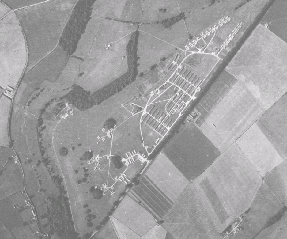
Having a look around Google Earth and came across this, anyone know what it was, its just North/East of Fossebridge, the photo is Google Earth Image, you need to go back date to 1945, its all woods now.
Attached files
This image is hidden for guests.
Untitled Placemark.kmz
(805 
Attached files
This image is hidden for guests.
Please log in or register to see it.
Please Log in or Create an account to join the conversation.
- carnaby
-

- Offline
- Platinum Member
-

Less
More
- Posts: 5026
- Thank you received: 440
26 Oct 2014 15:09 #2
by carnaby
Plan A is always more effective when the problem you are working on understands that Plan B will involve the use of dynamite
Replied by carnaby on topic What was this
Plan A is always more effective when the problem you are working on understands that Plan B will involve the use of dynamite
Please Log in or Create an account to join the conversation.
- tonygos
-
Topic Author
- Offline
- Junior Member
-
Less
More
- Posts: 47
- Thank you received: 0
26 Oct 2014 16:09 #3
by tonygos
Replied by tonygos on topic What was this
Thank you for the reply and with the link in the other post I had a lovely read this afternoon of (STOWELL PARK) the disused army camp.
Please Log in or Create an account to join the conversation.
Time to create page: 0.035 seconds